
Places / North & Central America / Guatemala
Quetzaltenango
Not been yet
At a glance
- Country
- Guatemala
- Region
- Quetzaltenango Department
- Population
- 180,000
- Best time to go
- November to April
- Main airport
- None — nearest is La Aurora International, Guatemala City (GUA)
- Coordinates
- 14.83°N, 91.52°W
Visited Still to go Click a pin or country to read more. Zoom with + and −, a double-click or a pinch.
Overview
Guatemala's second city, known to everyone as Xela, sits high in the western highlands among volcanoes and Maya farming villages. It feels more workaday than Antigua, which is exactly why many travellers like it.
Students come for the cheap, immersive Spanish schools; hikers come for the volcanoes and the multi-day trek to Lake Atitlán. At this altitude the days are bright and the nights genuinely cold, so pack a warm layer.
Things to see
-
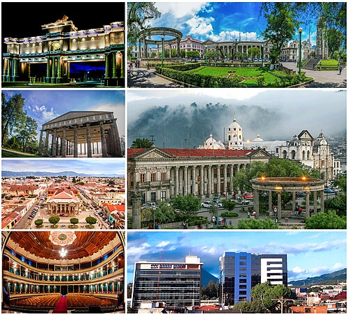
Photo: Merari Rene 0901, CC BY-SA 4.0 Parque Centroamérica
The grand central square, lined with neoclassical buildings in grey stone and the city's cathedral.
-
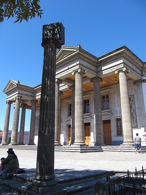
Photo: Apoxyomenus, CC BY-SA 4.0 Teatro Municipal
An elegant early 20th-century theatre a few blocks north of the square, still used for concerts and plays.
-
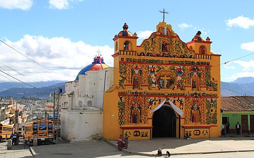
Photo: chensiyuan, CC BY-SA 4.0 San Andrés Xecul
A nearby village church with a riotously painted yellow façade covered in angels, vines and animals.
-
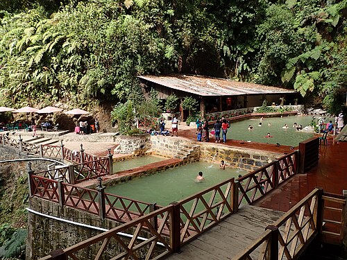
Photo: Kaldari, CC0 Fuentes Georginas
Steaming natural hot pools set in a cloud-forest valley above the town of Zunil.
Tickets and tours
Things to do
-
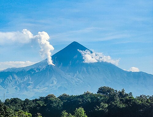
Photo: Mathieu Dorning, CC BY 4.0 Climb Santa María
A steep pre-dawn hike to the summit, timed to watch neighbouring Santiaguito puff out ash at sunrise.
-
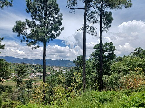
Photo: Simon Burchell, CC BY-SA 4.0 Study Spanish
Xela's language schools are known for good value, homestays and a less touristy atmosphere.
-
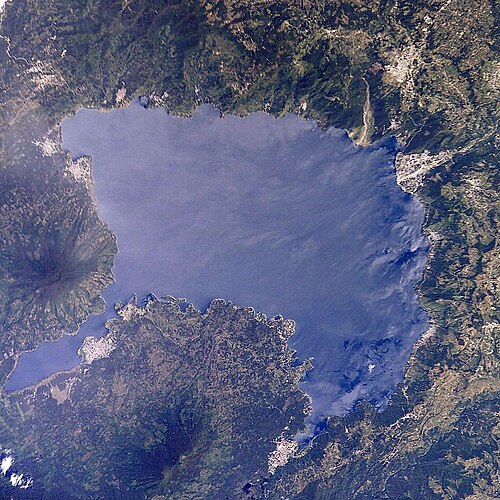
Photo: NASA, Public domain Trek to Lake Atitlán
A three-day guided walk through highland villages and farmland, ending above the lake at dawn.
Where to stay
Centro Histórico
Walkable streets around the main square, with hostels, cafés and most language schools.
Hotels in Centro HistóricoZona 3
A more modern area with shopping centres and the main bus terminal, handy for onward travel.
Hotels in Zona 3
Getting around
The centre is easily walked. Taxis and colourful local buses connect it to the outer zones and nearby villages.
Shuttles and first-class buses from Guatemala City or Antigua take around four to five hours.
When to go
November to April is dry, with clear skies and cold nights. The rainy season from May to October brings afternoon downpours and muddier trails. The city's main fair takes place in September.
Plan your trip to Quetzaltenango
Guide last checked October 2026. Opening times and prices change, so check before you go.