
Mopti
Not been yet
The UK Foreign Office currently advises against travel to all or parts of Mali. This guide is for a safer time. Check the latest travel advice.
At a glance
- Country
- Mali
- Region
- Mopti Region
- Population
- 120,000
- Best time to go
- November to February
- Main airport
- Mopti Ambodedjo (MZI)
- Coordinates
- 14.48°N, 4.18°W
Visited Still to go Click a pin or country to read more. Zoom with + and −, a double-click or a pinch.
Overview
Mopti sits where the Bani River meets the Niger, a town spread across islands and dykes in the inland delta. For centuries it has been a trading port, where boats loaded with salt, fish and goods arrive from up and down the river.
In more peaceful times it was the base for journeys to the mud-brick town of Djenné and the cliff villages of Dogon Country. The region has been badly affected by insecurity in recent years.
Things to see
-
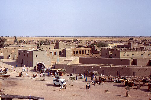
Photo: Gilles MAIRET, CC BY-SA 3.0 Great Mosque of Mopti
A striking mud-brick mosque in the Sudano-Sahelian style, with spiked towers and smooth earthen walls.
-
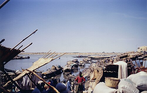
Photo: Jeanne Menjoulet from Paris, France, CC BY 2.0 The river port
The busy harbour, crowded with long wooden pinasses, slabs of salt and drying fish.
-
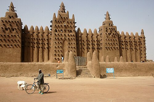
Photo: Ruud Zwart, CC BY-SA 3.0 Great Mosque of Djenné
The largest mud-brick building in the world, in a UNESCO-listed town south of Mopti.
Things to do
-
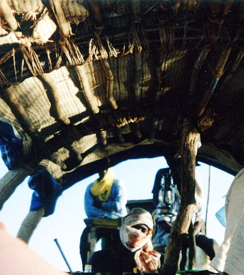
Photo: Jeanne Menjoulet from Paris, France, CC BY 2.0 Boat trip on the river
A pinasse journey through the delta passes fishing camps and villages of the Bozo people.
-
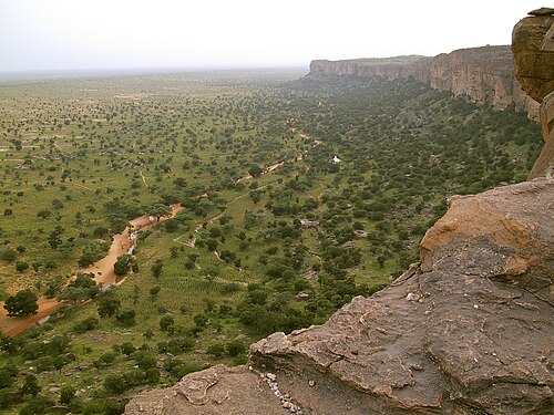
Photo: Timm Guenther, CC BY-SA 3.0 Dogon Country
The Bandiagara Escarpment, with villages and granaries clinging to the cliffs, lies to the east.
-
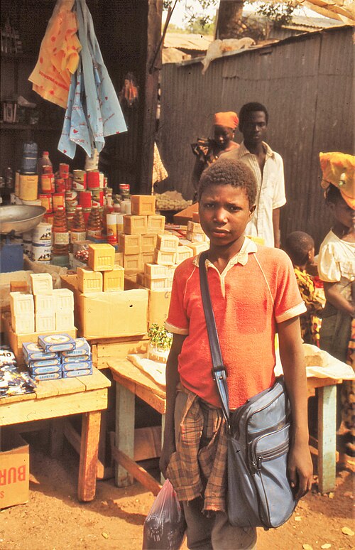
Photo: Wouter van Beek, CC BY-SA 4.0 Browse the market
Look for blankets, Fulani jewellery and crafts from across the region.
Where to stay
Town centre
Simple hotels near the port and mosque.
Hotels in Town centreSévaré
The neighbouring town on the main road, close to the airport.
Hotels in Sévaré
Getting around
The centre can be explored on foot, and pirogues cross the river. Travel beyond the town would need a trusted local guide.
Mopti is around 600 kilometres north-east of Bamako by road; the airport is at Sévaré, a short drive away.
When to go
The cool, dry season from November to February is the most comfortable. The river is highest after the rains, from around September. Check the latest travel advice before making any plans.
Plan your trip to Mopti
Guide last checked October 2026. Opening times and prices change, so check before you go.