
South Tarawa
Not been yet
At a glance
- Country
- Kiribati
- Region
- Gilbert Islands
- Population
- 63,000
- Best time to go
- May to November
- Main airport
- Tarawa Bonriki International (TRW)
- Coordinates
- 1.33°N, 172.98°E
Visited Still to go Click a pin or country to read more. Zoom with + and −, a double-click or a pinch.
Overview
South Tarawa is a thin chain of coral islets, linked by causeways, along the southern rim of Tarawa atoll in the central Pacific. Nearly half of Kiribati's people live here, on land rarely more than a few metres above the sea.
It is crowded and very low-key, with few sights in the usual sense. Visitors come for the Second World War history, the calm lagoon and a glimpse of island life far from the tourist trail.
Things to see
-
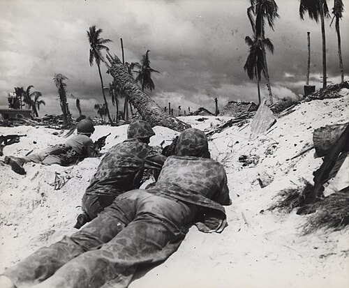
Photo: USMC Archives from Quantico, USA, CC BY 2.0 Betio battlefield
Japanese coastal guns, concrete bunkers and memorials recall the fierce Battle of Tarawa in November 1943.
-
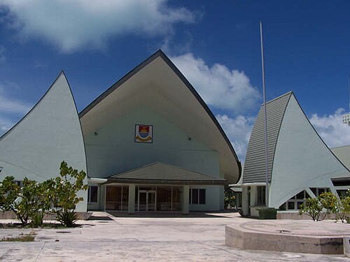
Photo: Jopolopy, CC BY 3.0 Parliament House
Kiribati's parliament meets in a modern building at Ambo inspired by the traditional maneaba meeting house.
-
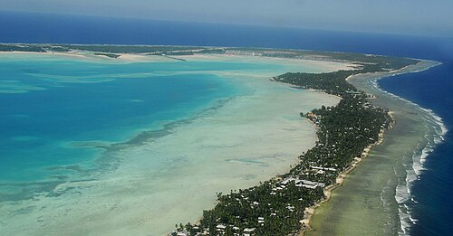
Photo: Photo taken by Government of Kiribati employee in the course, CC BY 3.0 Tarawa lagoon
The wide, sheltered lagoon glows turquoise at low tide, with fishing canoes and outrigger boats along the shore.
Things to do
-
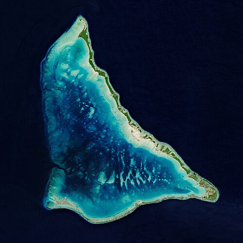
Photo: European Space Agency, Attribution Visit North Tarawa
Take a boat across to the quieter northern islets, where villages of thatched houses keep a traditional pace.
-
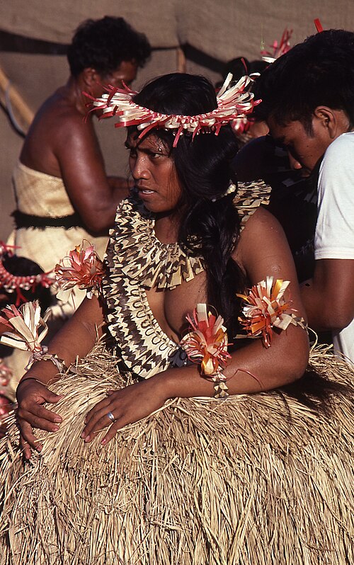
Photo: Nomis Elaws, CC BY-SA 4.0 Watch traditional dance
I-Kiribati dancing, with its bird-like arm movements, is often performed in community maneaba halls.
-
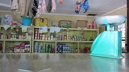
Photo: Flexmaen, CC BY-SA 4.0 Eat local seafood
Look for fresh reef fish, raw fish in coconut and breadfruit at small local restaurants.
Where to stay
Betio and Bairiki
Close to the government offices, harbour and war relics, with a few small hotels.
Hotels in Betio and BairikiBikenibeu and near the airport
Quieter, with simple lodges convenient for flights.
Hotels in Bikenibeu and near the airport
Getting around
Privately run minibuses run up and down the single main road along the atoll; flag one down anywhere.
Bonriki airport is at the eastern end of the atoll, around 45 minutes by road from Bairiki. International flights are limited, so plan connections carefully.
When to go
It is hot and humid all year. The drier months are usually from around May to November, while the wetter season, with more chance of storms, runs from December to April.
Plan your trip to South Tarawa
Guide last checked October 2026. Opening times and prices change, so check before you go.