
Places / North & Central America / El Salvador
Santa Ana
Not been yet
At a glance
- Country
- El Salvador
- Region
- Santa Ana Department
- Population
- 260,000
- Best time to go
- November to April
- Main airport
- None — nearest is San Salvador (SAL)
- Coordinates
- 13.99°N, 89.56°W
Visited Still to go Click a pin or country to read more. Zoom with + and −, a double-click or a pinch.
Overview
El Salvador's second city grew wealthy on coffee, and its central square still shows it, with a white neo-Gothic cathedral and an ornate theatre facing each other across the park.
Santa Ana is a practical, unhurried base for the west of the country: the country's highest volcano with its turquoise crater lake, a vast blue lake in an older crater, Mayan pyramids and the coffee towns of the Ruta de las Flores.
Things to see
-
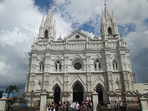
Photo: ARamirez69, CC BY-SA 3.0 Santa Ana Cathedral
A white neo-Gothic cathedral with intricate stonework, the city's centrepiece.
-

Photo: Claudia Herrera, CC BY-SA 3.0 Teatro de Santa Ana
A grand early 20th-century theatre built with coffee money, on the main square.
-
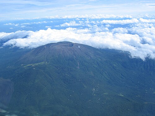
Photo: Unknown photographer, Public domain Santa Ana Volcano
Climb to the rim to look down on a steaming, turquoise crater lake.
Tickets and tours -
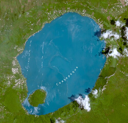
Photo: European Union, Copernicus Sentinel-2 imagery, Attribution Lake Coatepeque
A deep blue crater lake ringed by steep green slopes and lakeside restaurants.
-
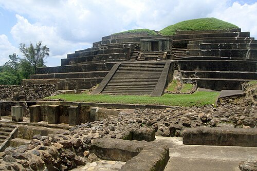
Photo: Mariordo (Mario Roberto Durán Ortiz), CC BY-SA 3.0 Tazumal
The most impressive Mayan ruins in the country, in the nearby town of Chalchuapa.
Tickets and tours
Things to do
-
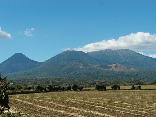
Photo: JMRAFFi, CC BY 4.0 Hike the volcano
Guided group hikes leave from Cerro Verde National Park, taking a few hours up and back.
Find tours -
Coffee farm tour
See how coffee is grown and processed on a farm in the surrounding hills.
-
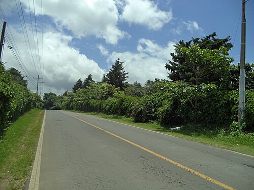
Photo: feinteriano, CC BY-SA 3.0 Drive the Ruta de las Flores
A winding road through small towns known for murals, crafts and weekend food fairs.
Where to stay
City centre
Simple hotels and guesthouses near the main square.
Hotels in City centreLake Coatepeque
Lakeside hotels with views, best with your own transport.
Hotels in Lake Coatepeque
Getting around
Walk around the centre; taxis or tours are easiest for the volcano and lake.
Santa Ana is about an hour and a half by road from San Salvador's airport, and frequent buses run from the capital.
When to go
November to April is dry, with the clearest views from the volcanoes. Afternoon storms are common in the wet season from May to October.
Plan your trip to Santa Ana
Guide last checked October 2026. Opening times and prices change, so check before you go.