
Places / North & Central America / Belize
Belmopan
Not been yet
At a glance
- Country
- Belize
- Region
- Cayo District
- Population
- 25,000
- Best time to go
- December to April
- Main airport
- None — nearest is Philip S. W. Goldson International (BZE)
- Coordinates
- 17.25°N, 88.76°W
Visited Still to go Click a pin or country to read more. Zoom with + and −, a double-click or a pinch.
Overview
Belmopan was built in the 1960s and 70s as a new inland capital after Hurricane Hattie battered Belize City. It is one of the world's smallest capitals: quiet, green and spread out, with government buildings set among lawns and trees.
Few people come for the town itself, but it is a convenient base. Rainforest, river caves and swimming holes are all within a short drive, and the Maya sites of the Cayo District lie just to the west.
Things to see
-
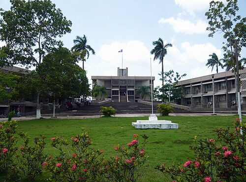
Photo: Haakon S. Krohn, CC BY-SA 3.0 National Assembly building
The parliament building is modelled on a Maya temple, sitting at the head of the town's central green.
-
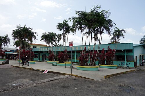
Photo: Haakon S. Krohn, CC BY-SA 3.0 Belmopan market
The busy market square is the town's social heart, best on market days for tropical fruit, tamales and local gossip.
-
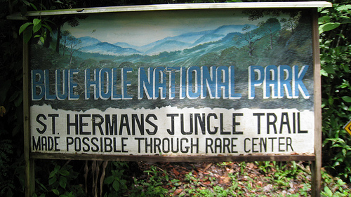
Photo: Bennyteee, CC BY-SA 3.0 St Herman's Blue Hole National Park
A sapphire swimming hole fed by an underground river, with jungle trails and a cave nearby on the Hummingbird Highway.
Tickets and tours -
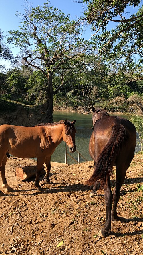
Photo: Asdfjrjjj, CC BY-SA 4.0 Guanacaste National Park
A small riverside reserve at the junction outside town, named after a giant guanacaste tree, with easy trails and birdlife.
Tickets and tours
Things to do
-
Cave tubing
Float on an inner tube through river caves in the Caves Branch area, between Belmopan and Belize City.
Find tours -
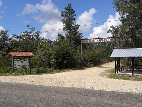
Photo: BzeZoo, CC BY-SA 4.0 Belize Zoo
A much-loved small zoo of rescued native animals, including jaguars and tapirs, on the highway towards Belize City.
Find tours -
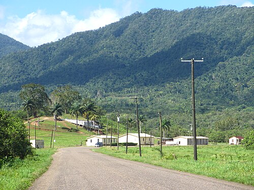
Photo: Squidjie, CC BY-SA 2.0 Drive the Hummingbird Highway
The country's most scenic road winds south through hills and citrus groves towards the coast at Dangriga.
Where to stay
Town centre
A handful of simple hotels close to the market and bus terminal.
Hotels in Town centreJungle lodges nearby
Lodges along the Hummingbird Highway and Roaring Creek put you in the forest with the town still close.
Hotels in Jungle lodges nearby
Getting around
The town is spread out, so taxis are the easiest way around. Buses connect Belmopan with Belize City, San Ignacio and the south.
The international airport near Belize City is about an hour and a quarter away by road; buses run regularly from Belize City's main terminal.
When to go
December to April is the dry season, the most comfortable time for caves and hiking. The rains run from June to November, which is also hurricane season, though the inland capital is well sheltered.
Plan your trip to Belmopan
Guide last checked October 2026. Opening times and prices change, so check before you go.