
Places / Oceania / Marshall Islands
Majuro
Not been yet
At a glance
- Country
- Marshall Islands
- Region
- Majuro Atoll
- Population
- 23,000
- Best time to go
- December to April
- Main airport
- Amata Kabua International (MAJ)
- Coordinates
- 7.09°N, 171.38°E
Visited Still to go Click a pin or country to read more. Zoom with + and −, a double-click or a pinch.
Overview
Majuro is a long, thin ring of coral islands around a vast lagoon, joined by a single road that runs for tens of kilometres. In most places the land is so narrow you can see the ocean on one side and the lagoon on the other.
It is a small, unhurried capital rather than a holiday destination, with simple shops, churches and a laid-back pace. The real draws are the water, the reefs and a glimpse of life on a low-lying Pacific atoll.
Things to see
-

Photo: U.S. Army photo by Sgt. Wesley Akers, Public domain Alele Museum
A small museum on Marshallese culture, with stick charts once used to navigate between atolls.
-
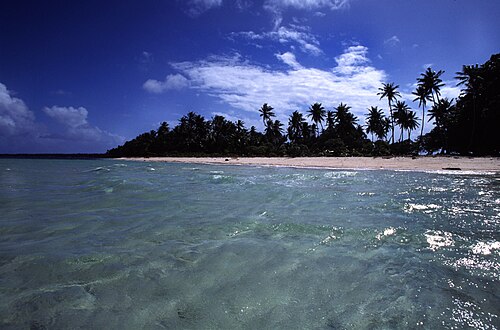
Photo: mrlins, CC BY 2.0 Laura Beach
At the far western end of the road, a quiet, palm-fringed beach facing the lagoon.
-
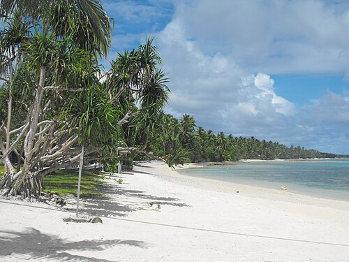
Photo: Cliff Hansen, CC BY-SA 4.0 The lagoon
The huge, calm lagoon is a constant presence, with outrigger canoes and fishing boats.
Things to do
-
Photo: Internet Archive Book Images, No restrictions Diving and snorkelling
Reefs, drop-offs and wartime wrecks lie within reach of local dive operators.
-
Photo: Geological Survey (U.S.) Pecora, William T. Gerlach, Arch C., Public domain Drive the length of the atoll
Follow the road out to Laura through villages and coconut palms.
-
Learn about local handicrafts
Look for woven baskets, mats and jewellery made from pandanus and shells.
Where to stay
Delap-Uliga-Djarrit
The main town area, with most hotels, restaurants and shops.
Hotels in Delap-Uliga-DjarritLaura
The quieter end of the atoll, for simple stays near the beach.
Hotels in Laura
Getting around
Shared taxis run up and down the main road and are cheap and easy to flag down.
The airport is on the main road between the town and Laura, around 15 minutes by car from the main hotels.
When to go
Majuro is warm and humid all year. The drier trade-wind season runs roughly from December to April, while the rest of the year brings more frequent showers.
Plan your trip to Majuro
Guide last checked October 2026. Opening times and prices change, so check before you go.